
Indianapolis, IN
Stop on the proposed 17,000-mile maglev network. Next stop: Dayton, OH (82.4 mi).
About Indianapolis
Indianapolis, colloquially known as Indy, is the capital and most populous city of the U.S. state of Indiana and the county seat of Marion County. Indianapolis is situated in the state's central till plain region along the west fork of the White River.
Source: Wikipedia summary (full article). Population and facts as published there.
Cost breakdown (proposal-scale estimates — see math)
| Item | Basis | Estimate |
|---|---|---|
| Terminal construction | Large-city terminal (parametric range $2-4B) | $3B |
| Land acquisition | Regional factor 1.5× on $200M base | $300M |
| Track: Indianapolis → Dayton | 82.4 mi × $500M/mi | $41.2B |
| Annual operations (share) | Staffing, power, maintenance | $60M/yr |
| Stop total (excl. annual ops) | $44.5B |
Best terminal location (proposed)
The downtown Union Station district. The historic Union Station sits beside the Julia Carson Transit Center, Indy's main bus hub, putting every local route at the terminal's door. Downtown surface lots and the old rail yard offer assembly room without demolishing the core, and the state-capital catchment draws from the full metro.
Before / after
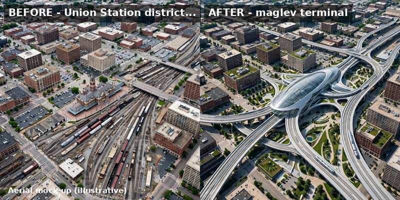
Aerial mock-up (illustrative, not an engineering rendering). Left: the proposed site today. Right: with the maglev terminal.
- Richmond, IN - eastern Indiana rail town on the historic National Road corridor
- Greenville, OH - Darke County seat west of Dayton
- Eaton, OH - Preble County seat on the US-35 corridor